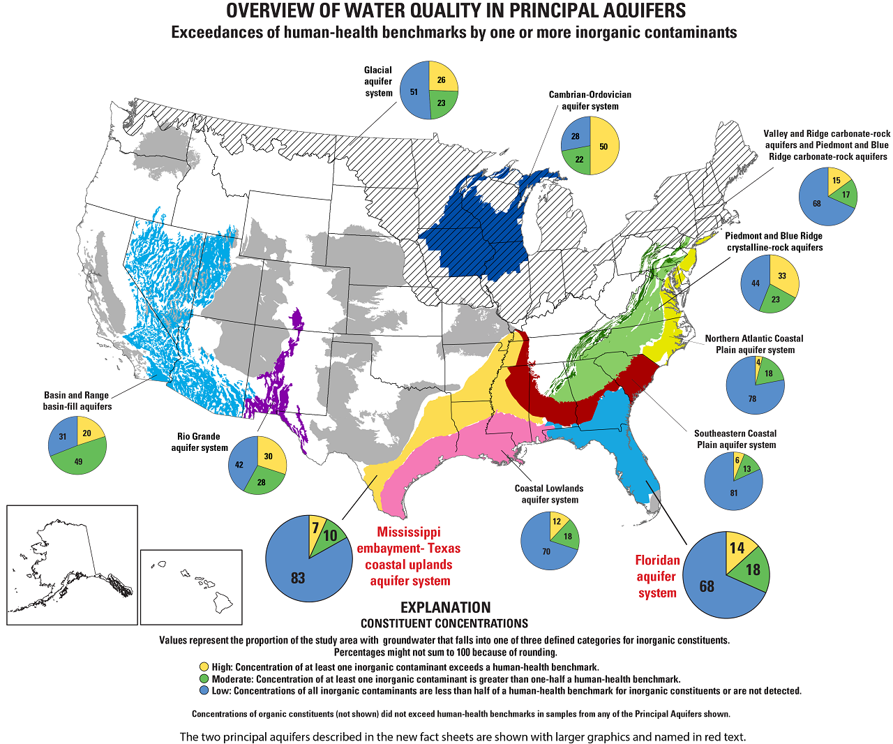
FROM THE WASHINGTON POST: 40 MAPS THAT EXPLAIN A GREAT DEAL ABOUT THE WORLD IN A GLANCE ALONG WITH LINKS THAT EXPLAIN A GREAT DEAL MORE.
 |
| Image USGS (Public Domain) |
At first glance what we are about to link you to doesn't seem very maritime in character. But we consider cartography very much a nautical professional endeavor. Henry the Navigator turned it into a science. It occupies a great deal of the effort of the NOAA Corps, a uniformed naval service we have introduced you to on occasion. All mariners work with navigation charts, a form of map. We had a great deal of fun with this site and we learned a few things. So here is a link, we recommend spending a little time with this site. It may painlessly change your world view. Click on the link below:
http://www.washingtonpost.com/blogs/worldviews/wp/2013/08/12/40-maps-that-explain-the-world/?wpisrc=nl_wv

AMAZON's CHARTS and MAPS SHELF
No comments:
Post a Comment