Google Earth Map Overlays and Other
Navigation Related Links Links checked 7/23/2015
 |
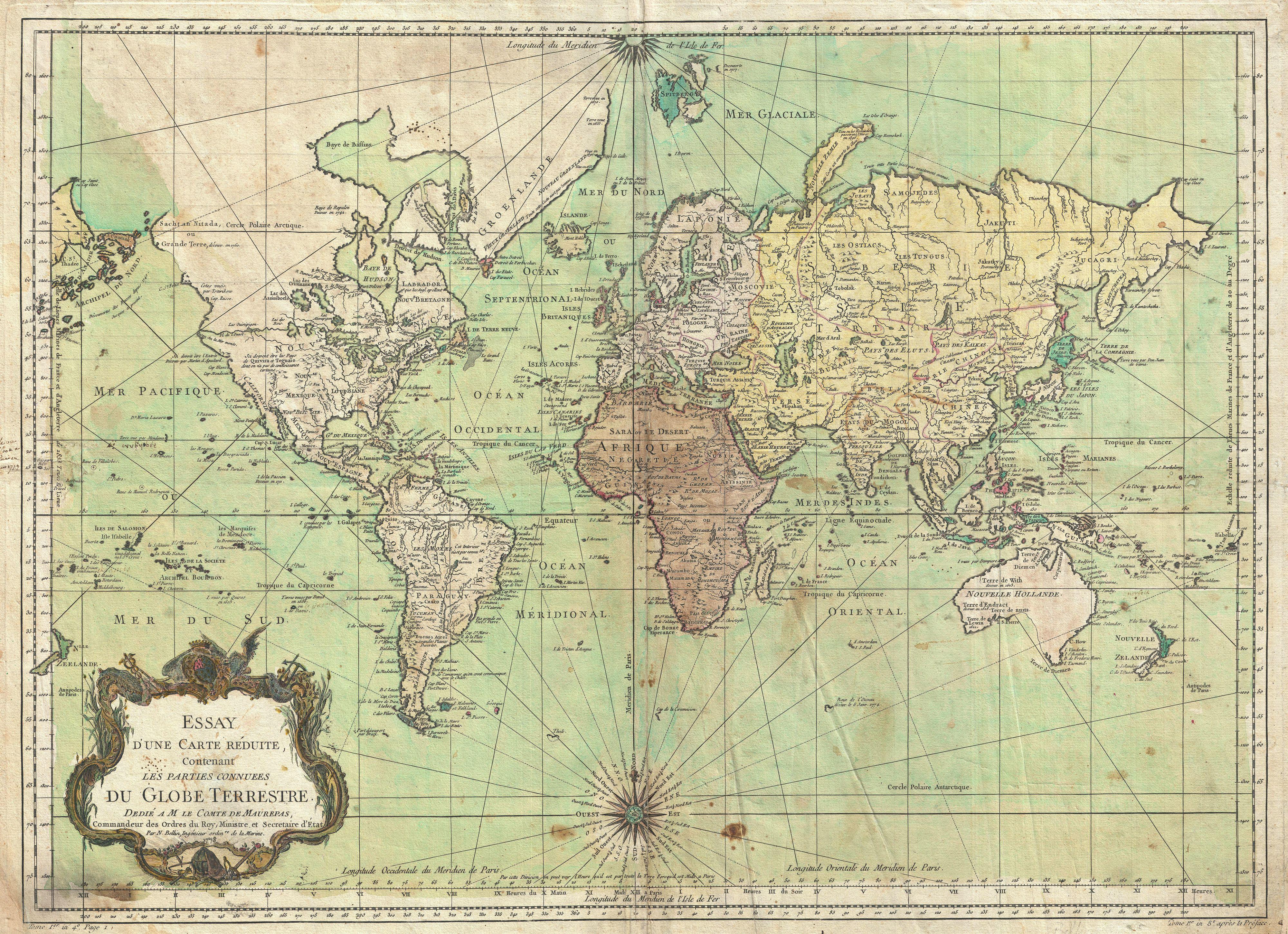
| The known world of 1778 |
Navigation isn't just an art for mariners. Admiralty lawyers, admiralty paralegals,
and investigators are often involved in forensic navigation, determining when a
vessel was when an event litigated over occurred. Maritime and even non maritime
environmental litigation and project planning often require navigational and
cartographic skills and tools. We can't teach you to navigate in these pages but we
can link you to places that can. We can also link you to tools. Google Earth is a tool,
not a navigational course. But if you already know a bit about using and interpreting
maps and charts Google Earth can provide a lot of data without you having to leave
your computer desk. Goggle Earth virtually lets you "fly over the earth viewing satellite
imagery, and even street maps and in many places you can "swoop down for a ground
level view..http://www.google.com/earth/
Now tools (applications) are starting to appear that supplement and enhance what you
can do with Google Earth. Below are some descriptive passages from a Google Earth KML
network site that provides various types of over lays that you may apply with google Earth
maps.
"Here is a Google Earth KML network link that displays a big variety of tile based online
maps (road maps, terrain and contour maps, alternative satellite image sets, etc) in the
area you are currently viewing.This allows you to use your favorite map in 3D together
with other Google Earth layers to plan a trip, perform geospatial analyses, or simply have
better map sources where the data provided by Google is not as good:"
http://ge-map-overlays.appspot.com/
"Currently, 40 different map sources are supported. Most of these maps are based on
OpenStreetMap, but there also layers for Google Maps, Bing Maps and an extensive list of
regional map providers. You can switch between maps by clicking on them in the side bar:"
"Whenever you change the view in Google Earth, the image overlays are automatically
updated. Zoom levels for map tiles are calculated independently for different regions in the
Google Earth screen, based on distance to the virtual camera and on latitude. Consequently,
maps are updated very quickly and the number of map tiles loaded per update is more or
less constant, even if the view in Google Earth is tilted."
As we described in an earlier post the National Oceanic and Atmospheric Administration
nautical navigation charts are now on line at
the NOAA Charts on line but from a computer screen the scale, size, and resolution may
not be useful for much more than preliminary planning. All of NOAA's charts may be scannedinto a printer. But for real accuracy you'll want a full color very large printer like those used
for drafting projects. Its really not an issue. There are many NOAA Chart distributors around
with the equipment for down loading and printing charts in color, full size for very reasonable
prices. But for forensic work you should ask for a fresh print and not buy rolled stock off the
shelves. The electronic printing system insures that your chart contains accurate chart
information up to the day it was printed. If you use paper charts for navigation you will need
to make pencil updates before the start of any voyage planning session from on line NOAA data.
ON LINE MAPS AND CHARTS STORE
No comments:
Post a Comment