Navigation Systems Information
NOAA terminates the Chart Updating website
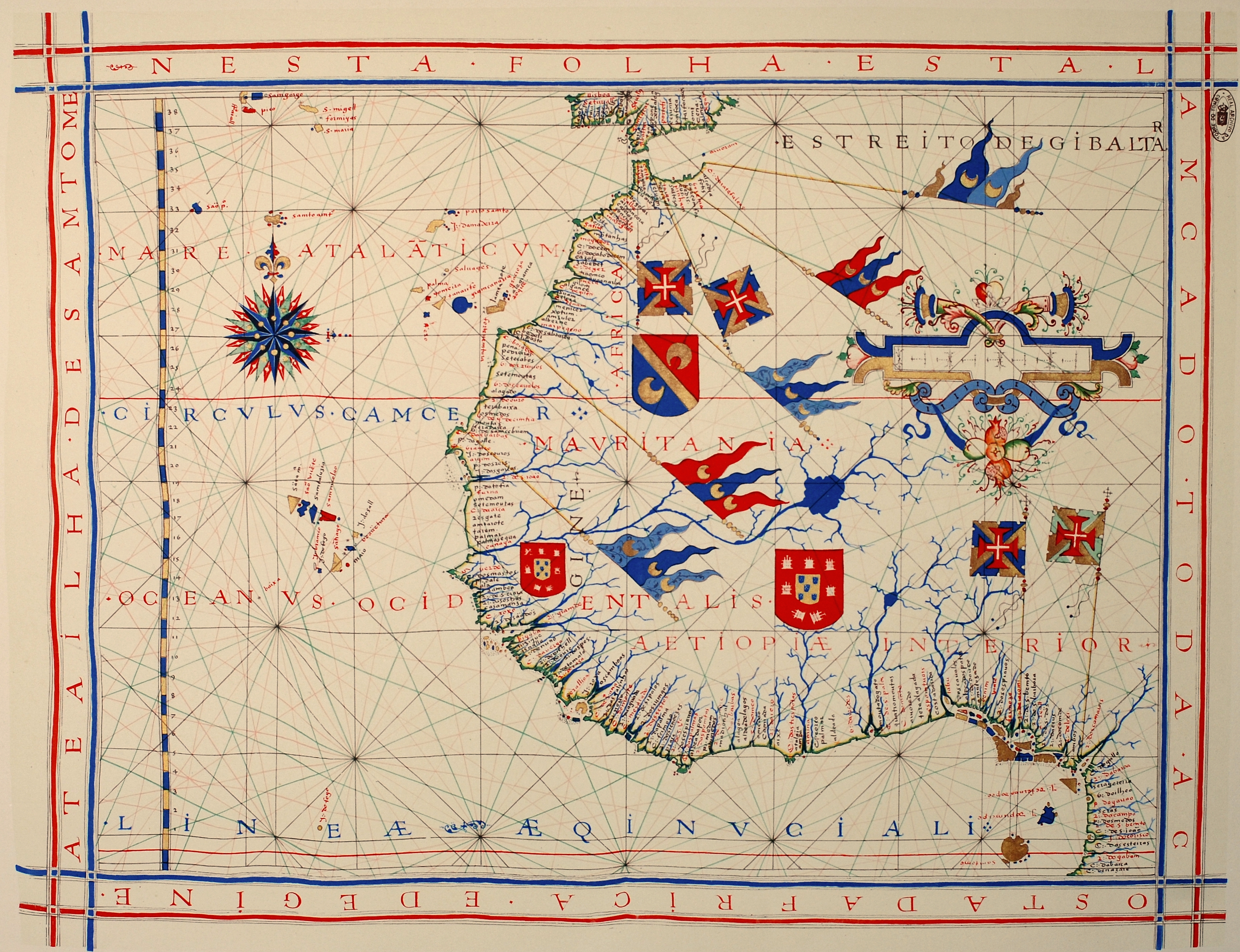 |
| Nautical chart of Portuguese cartographer Fernão Vaz Dourado (c. 1520 - c. 1580), Public Domain Based on Age of Work (More Than 70 Years Since Death of Author) |
See Our Related Post THE UNDERLYING INACCURACY IN TODAY'S NAVIGATION
On April 19, 2016 the USCG Auxiliary Chart Updating Reporting Webpage (CUWeb)was shut down permanently. As was that of the US Power Squadron. NOAA cut off the links due to cyber security considerations. It was determined by NOAA that the two cooperative web sites facilitating access to the NOAA chart updating net work might allow hackers a backdoor route to gain access to government internal networks. NOAA does not intend to bring the sites back on line in the future, the cyper security issue only appears to be able to be secured by closing the NOAA connection. It looks like this is the permanent solution.
However at lest the Coast Guard Auxiliary reports that the closing of CUWeb does not spell the end to the Auxiliary Chart Updating (CU) program. The Coast Auxiliary feels that Chart Updating "still plays a vital role in promoting safety on the water." The Auxiliary will continue to teach chart updating methods. The Auxiliary notes .." The same information that was being provided through CU Web can still be sent to NOAA, however without the aid of the structured CU Web report format web page. Chart corrections and discrepancies can be submitted to NOAA through the Inquiry and Discrepancy Report System (IDRS)" at http://ocsdata.ncd.noaa.gov/idrs/discrepancy.aspx ".
It should be noted that all mariners may report observed chart discrepancies to NOAA @ http://ocsdata.ncd.noaa.gov/idrs/discrepancy.aspx
As noted in our post
THE UNDERLYING INACCURACY IN TODAY'S NAVIGATION The processes of gathering original "datum", updating, and correcting charts are still more labor intensive and slow than obtaining an accurate fix of position from the GPS system. That super accurate GPS "fix" will definitely show you your vessel's longitude and latitude with previously unprecedented accuracy. However, when you chart that position your proximity to navigational hazards may not be nearly so accurate due to the manual processes that still dominate the depiction of basic datum like coast lines, and navigational features, and updating such information on a regular basis.
No comments:
Post a Comment